
7 Mistakes You Are Making with Drone Photography (and How AI Technology Fixes Them)
- Sean Lee

- Oct 4, 2025
- 4 min read
Updated: Oct 6, 2025
Drone photography mistakes cost you shots. AI technology fixes them. Here are the seven critical errors destroying your aerial footage and the intelligent solutions that eliminate them.
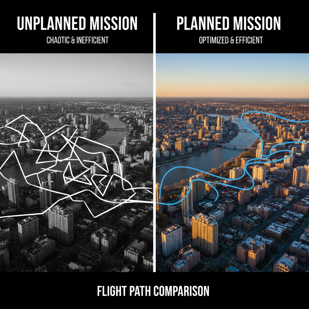
MISTAKE #1: Flying Without a Flight Plan
Random flying wastes battery life and produces inconsistent results. Most pilots launch without defined objectives, leading to aimless wandering and missed opportunities.
AI SOLUTION: Flight planning algorithms analyze terrain data, weather patterns, and points of interest automatically. These systems generate optimized flight paths based on your subject matter, ensuring every flight has purpose and direction. No more guesswork.
MISTAKE #2: Wrong Altitude Selection
Flying too high makes subjects appear insignificant. When everything looks tiny, your shots lack impact and viewers lose connection to the scene.
AI SOLUTION: Computer vision analyzes scene composition in real-time. Intelligent altitude optimization adjusts height automatically based on subject size, terrain features, and desired framing. The system maintains optimal distance for maximum visual impact while ensuring safety clearances.
MISTAKE #3: Jerky Movements and Speed Errors
High-speed flying creates unstable footage. Sudden movements and treating sports mode as default setting disables stabilization controls, producing unprofessional results.
AI SOLUTION: Advanced stabilization systems predict and compensate for movement patterns. Machine learning algorithms analyze flight data to smooth out jerky inputs automatically. Intelligent speed limiting adjusts velocity based on shot type and environmental conditions.
MISTAKE #4: Camera Settings FAILURE
Incorrect exposure settings destroy image quality regardless of drone capability. The 180-degree shutter rule, ND filter selection, and exposure management become complex when lighting conditions change rapidly.
AI SOLUTION: Camera systems automatically adjust ISO, aperture, shutter speed, and white balance based on scene analysis. These systems detect lighting conditions, apply appropriate ND filter recommendations, and maintain proper exposure throughout complex shots. Real-time highlight clipping compensation prevents blown-out imagery.
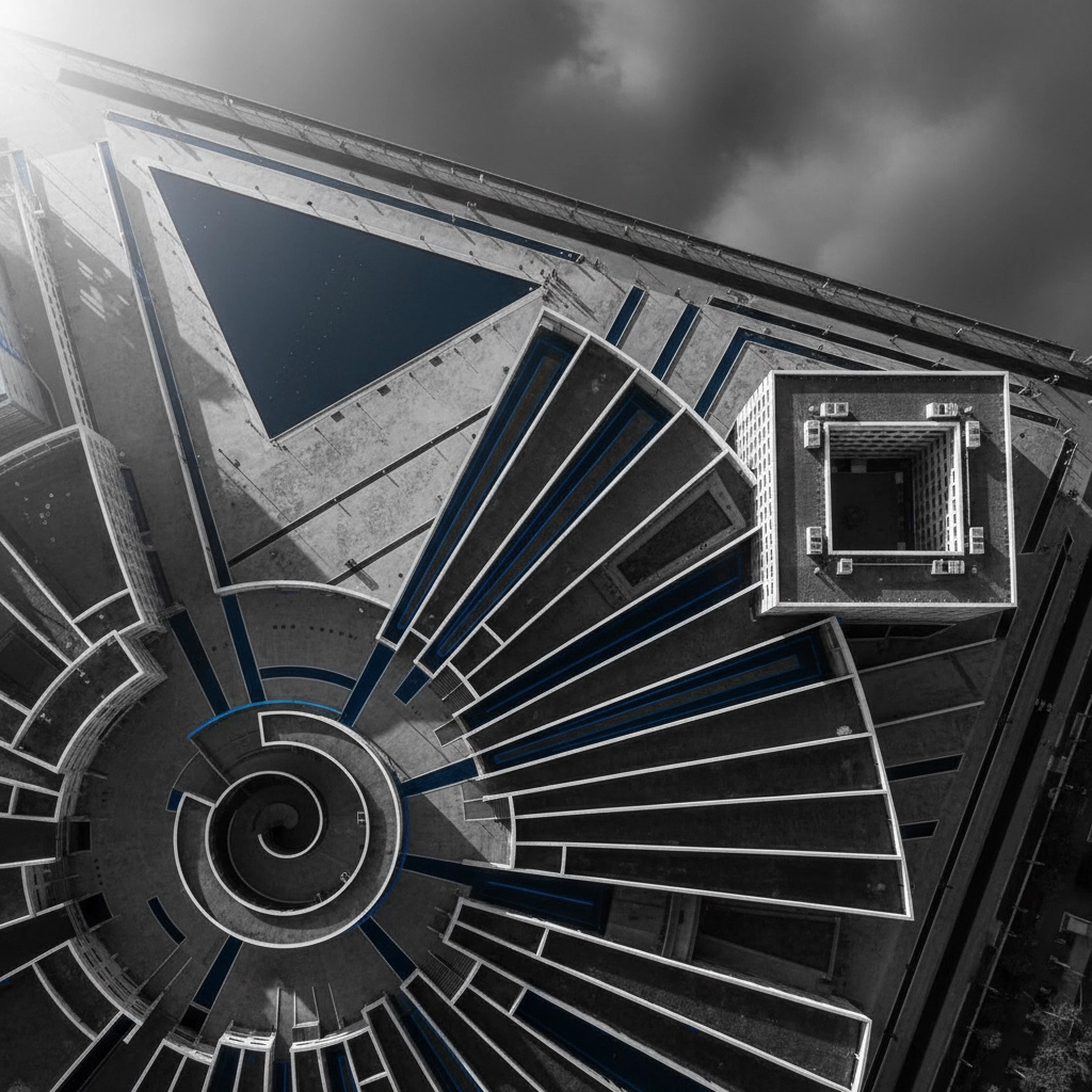
MISTAKE #5: Poor Composition and Subject Loss
Drone photography's expansive canvas makes composition challenging. Shots lack focus when clear subjects and proper framing principles get ignored.
AI SOLUTION: Computer vision identifies potential subjects within frames and suggests optimal compositions using established photographic principles. The system detects architectural features, natural formations, and moving subjects automatically, then recommends framing adjustments for maximum visual impact.
MISTAKE #6: Lighting Condition Ignorance
Poor lighting destroys aerial footage. Harsh midday sun creates flat images with deep shadows. Golden hour and blue hour conditions offer superior quality, but timing gets miscalculated frequently.
AI SOLUTION: Weather and lighting analysis systems predict optimal shooting conditions hours in advance. These tools analyze satellite data, weather patterns, and historical lighting conditions to recommend the best times for specific locations and shot types. Golden hour timing and cloud coverage predictions factor automatically.
MISTAKE #7: Weather Neglect and Safety Oversights
Flying in poor weather conditions risks equipment damage and produces poor image quality. High winds, rain, and extreme temperatures cause crashes, blurry images, and control loss.
AI SOLUTION: Intelligent weather monitoring provides real-time analysis of flying conditions, including wind speeds, precipitation probability, and temperature fluctuations. AI algorithms assess multiple weather data sources to provide personalized flight recommendations. Operations get grounded automatically when conditions become unsafe.
Technical Implementation of AI Solutions
Modern AI-powered drone systems integrate multiple sensors and data sources:
COMPUTER VISION PROCESSING: Real-time scene analysis identifies subjects, obstacles, and composition opportunities through advanced image recognition algorithms.
MACHINE LEARNING OPTIMIZATION: Flight pattern learning adapts to individual pilot preferences while maintaining professional standards automatically.
ENVIRONMENTAL DATA INTEGRATION: Weather APIs, terrain mapping, and atmospheric condition monitoring feed into decision-making algorithms continuously.
PREDICTIVE ANALYTICS: Historical data analysis predicts optimal shooting conditions and prevents common failure scenarios.

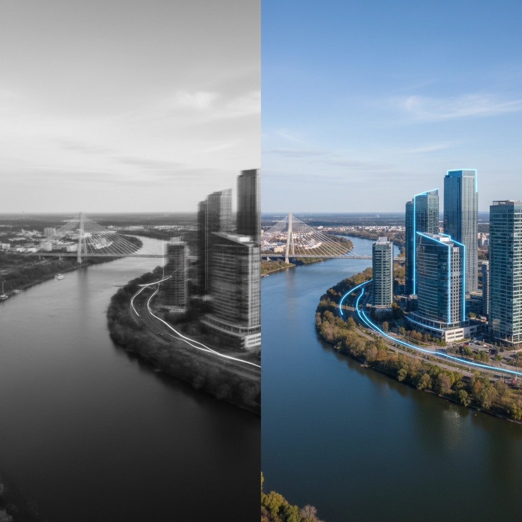
Professional vs Amateur Results
AI technology eliminates the skill gap between amateur and professional drone operators. Traditional manual control requires years of practice to master exposure settings, smooth movements, and composition techniques. AI systems provide professional-quality results immediately.
CONSISTENCY IMPROVEMENT: AI maintains shot quality across varying conditions and operator skill levels.
TIME EFFICIENCY: Automated systems reduce setup time and eliminate trial-and-error approaches.
SAFETY ENHANCEMENT: Intelligent monitoring prevents crashes and equipment damage through predictive analysis.
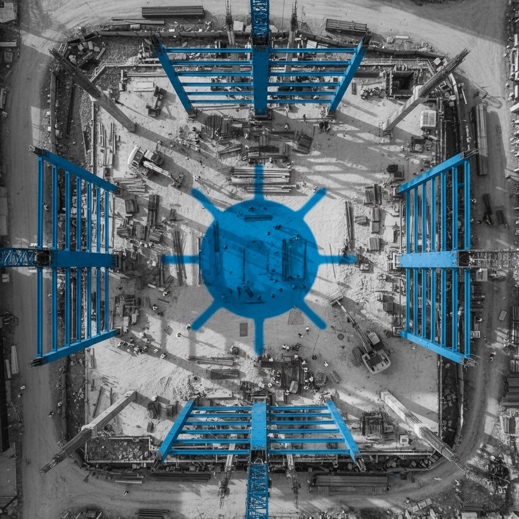
Industry Impact and Adoption Rates
Professional drone services increasingly rely on AI-enhanced systems for construction projects, roofing inspections, and events documentation. The technology eliminates human error factors that traditionally compromised aerial photography projects.
COST REDUCTION: Fewer retakes and equipment failures reduce operational expenses significantly.
QUALITY STANDARDIZATION: AI ensures consistent results across different operators and conditions.
CLIENT SATISFACTION: Predictable, high-quality outputs improve project success rates and client relationships.
Implementation Requirements
AI-enhanced drone photography requires specific hardware and software configurations:
HARDWARE SPECS: High-performance processors, advanced sensors, and reliable communication systems enable real-time AI processing.
SOFTWARE INTEGRATION: Compatible flight control systems and image processing applications must support AI algorithm integration.
DATA CONNECTIVITY: Reliable internet connections enable weather data access and cloud-based processing capabilities.
Future Developments
Next-generation AI systems will provide even more sophisticated automation:
STORY-DRIVEN SEQUENCING: Automatic shot planning based on narrative requirements and artistic vision.
ADAPTIVE SUBJECT TRACKING: Predictive movement analysis for dynamic subject following.
REAL-TIME OPTIMIZATION: Continuous scene adaptation throughout flights based on changing conditions.
The integration of AI technology transforms drone photography from technical challenge into creative tool. Complex details get handled automatically, allowing focus on artistic vision rather than technical limitations.
These seven mistakes no longer need to compromise your aerial photography. AI solutions exist now. Implementation eliminates errors systematically and produces professional results consistently.
For professional drone services that leverage the latest AI technology, explore our photography services and see how intelligent automation can transform your projects.
Comments